Thinking about buying acreage in the Northern Black Hills, especially around 57759 and Nemo in Lawrence County? The right parcel can give you privacy, views, and year‑round recreation, but rural land comes with details you do not face in town. You want confidence that your access is legal, your utilities plan is realistic, and your future use fits local rules.
In this guide, you will learn the basics of evaluating recreational and acreage properties in Lawrence County. We will cover access, septic and wells, zoning and covenants, soils and wildfire, mining history, and timelines. You will also get a practical checklist you can use when you tour property and draft offers. Let’s dive in.
Why 57759 acreage stands out
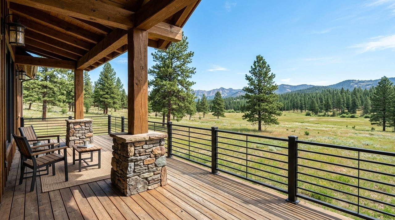
ZIP 57759 centers on the Nemo area in northern Lawrence County within the Black Hills. Parcels here often sit near Black Hills National Forest, with pine timber, rolling ridges, and rugged draws. Buyers commonly seek hunting tracts, off‑grid cabins, and view sites that balance privacy with nearby public land.
Public hunting exists, but most hunting in South Dakota occurs on private land. Use the South Dakota Game, Fish and Parks atlas to locate Game Production Areas and other public access programs so you can weigh public options against the value of private‑land access and privacy. You can explore those resources through the state’s public hunting atlas and access programs.
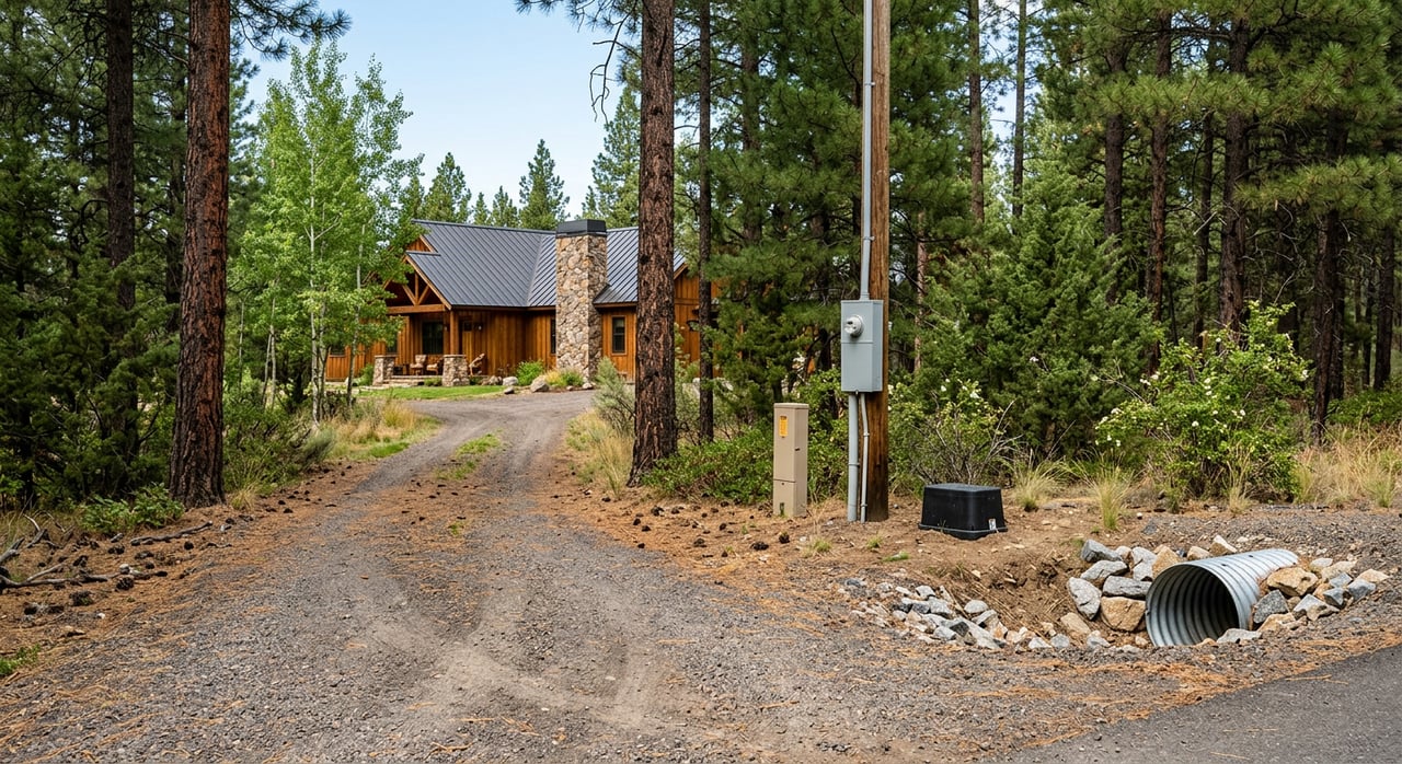
Start with legal access
If you remember just one rule, make it this: do not buy land that only has verbal or informal access. Legal, recorded access protects your ability to use the property and to finance or resell it later.
Recorded access vs informal use
Ask for proof of recorded ingress and egress, such as a dedicated public road, a deeded easement, or a recorded right of way. The Lawrence County Register of Deeds holds official records, including deeds and easements. You can confirm documents or request copies through the Register of Deeds.
If access ties into a county road, look for an approved approach permit. The county Highway Department posts private approach and right‑of‑way forms online. Ask the seller for any permits and related conditions. Review the county’s Highway Forms when you evaluate a listing.
Long‑time driveway use is not the same as secure access. South Dakota recognizes prescriptive easements in certain cases, but they require legal proof after years of open and adverse use. Do not assume a longstanding track equals a right. If this issue comes up, review title and consider counsel. For background, see this South Dakota Supreme Court prescriptive easement case summary.
What to request on access
- Recorded deed and any easements or rights of way from the Register of Deeds.
- Copies of private road agreements and recent roadwork invoices.
- County approach permits and any right‑of‑way utility permits noted in listing remarks.
Plan for utilities, wells, and septic
Rural parcels often require on‑site solutions. Knowing what the county requires will save you time and money later.
Septic requirements in Lawrence County
Lawrence County requires an Individual Sewage Disposal Permit. A new system needs an engineer’s design letter and a State‑licensed installer. The county also conducts inspections and sets timelines for permit processing and expiration. Review the county’s current application and steps in the Individual Sewage Disposal Permit.
Plan for design, permitting, and installation costs in your budget. The county does not accept a quick “perc” as a stand‑alone approval. Build enough time into your offer for site evaluation and county review.
Wells and water basics
South Dakota treats ordinary domestic wells differently from high‑capacity wells, but drillers must be licensed and completion records are filed. If a parcel has a well, ask for the completion report, a recent yield test, and water quality results. If there is no well, verify drilling access, local geology, and cost with a licensed driller. For an overview of state drilling practices, see this South Dakota drilling guide.
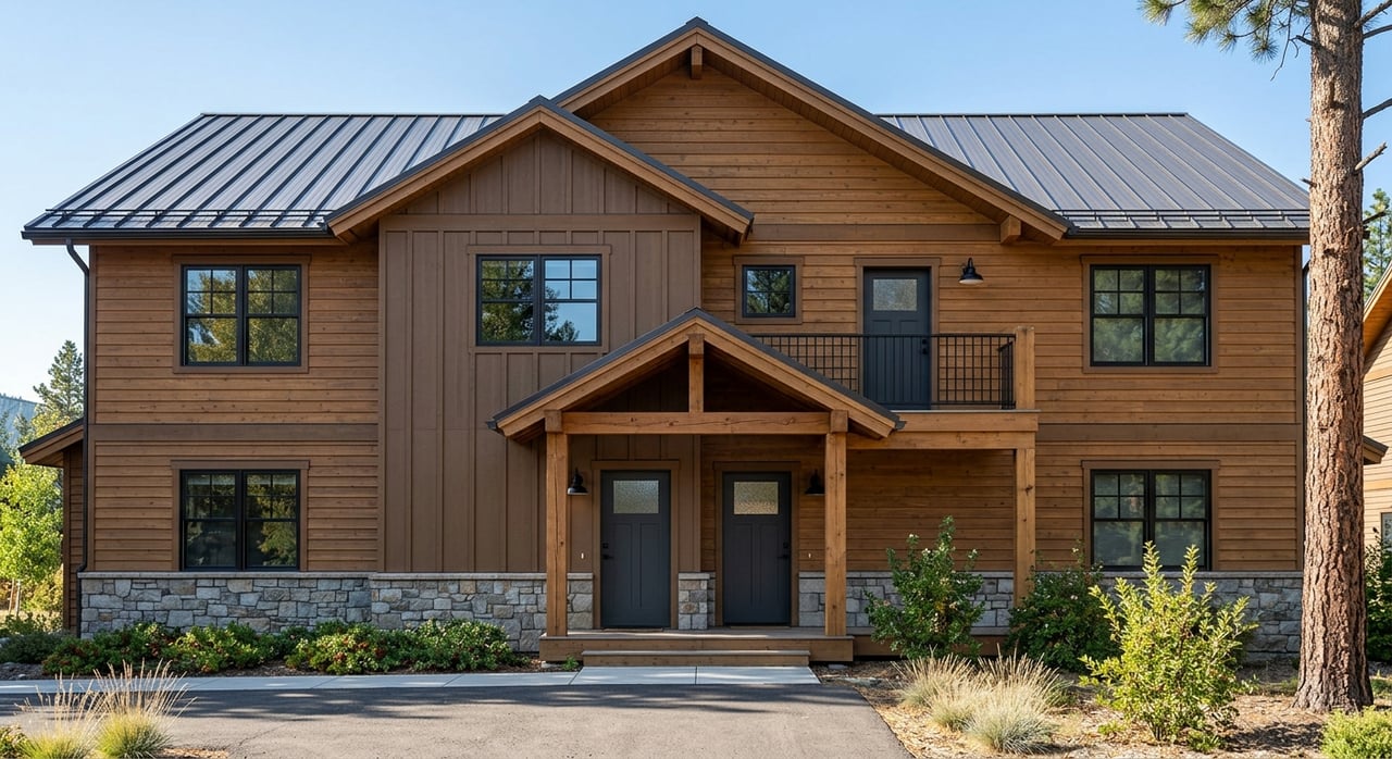
Power and off‑grid options
Some Black Hills parcels require long utility runs. Before you write an offer, confirm the distance to electric and phone lines, the service provider, and the estimated extension cost. If you plan to use solar or a generator, check that your installation will meet building and fire code requirements. Allow time for permits and inspections if you plan future structures.
What to request on utilities
- Septic permit or, for new systems, the engineer’s design letter and installer contact.
- Well log, pump yield or draw‑down test, and recent potable water test results.
- Nearest utility pole or transformer location, provider contact, and extension estimate.
Understand covenants, platting, and zoning
Your intended use must fit county rules and any private restrictions. Do not assume that camping, short‑term rentals, or tree removal are allowed.
Subdivision and plat notes
If the property sits in a recorded subdivision, it will follow the county subdivision ordinance and any covenants or HOA documents. Some new subdivisions also require wildfire mitigation plans as part of approval. Always pull covenants and plat notes from the Register of Deeds.
Zoning and permits
Ask Lawrence County Planning and Zoning to confirm the parcel’s zoning and permitted uses. If your plan does not fit by right, you may need a conditional use permit or variance. Start with the county’s Planning and Zoning office for guidance.
What to request on rules
- Recorded covenants, plat notes, and HOA or POA documents.
- Written zoning confirmation and any permit requirements for your intended use.
Read the land: terrain, soils, timber, wildfire
The Black Hills landscape is beautiful and complex. Terrain and soils influence where you can build and place septic, and timber affects both wildfire risk and site work.
Soils and slope
Shallow soils, rock outcrops, and steep slopes are common. Before you commit, run a soils report to understand limitations for building and septic placement. The Lawrence County Soil and Water Conservation District directs owners to the USDA Web Soil Survey, which you can access through the local soil survey resources.
Timber and habitat
Ponderosa pine dominates much of the Black Hills. Heavy timber can improve habitat and views, but it also increases wildfire risk and can raise site‑prep costs. If you expect timber value or plan removals, consider hiring a forester for a timber assessment.
Wildfire readiness
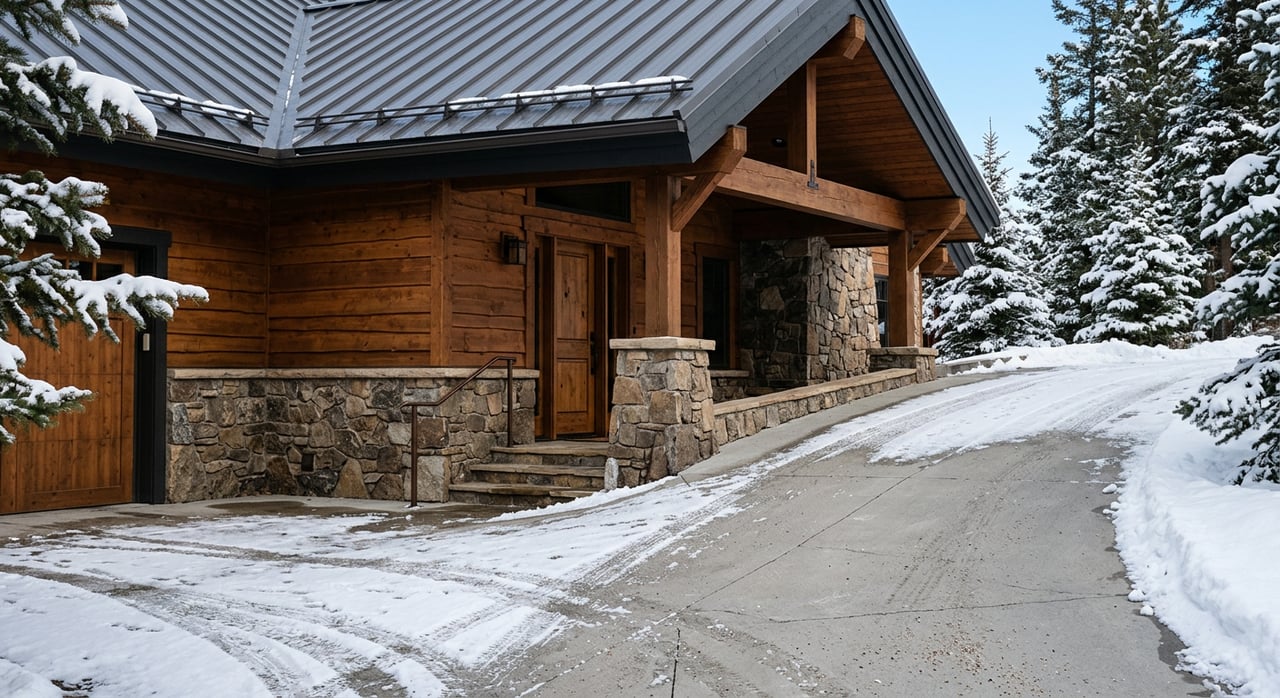
Many parcels in the hills sit within higher wildfire hazard areas. Lawrence County maintains a Community Wildfire Protection Plan and requires defensible‑space measures in some settings. As part of due diligence, confirm local fire district coverage, driveway access for emergency vehicles, and any mitigation requirements.
What to request on site conditions
- Web Soil Survey maps and a county septic checklist for your parcel.
- A forester’s walk‑through or timber cruise if timber value or clearing is part of your plan.
- A wildfire‑risk briefing and a list of required mitigation steps if applicable.
Environmental and mining history checks
Parts of Lawrence County have a long mining history. In specific drainages, historic tailings and past cleanup work mean you should add environmental checks to your purchase plan.
Whitewood Creek context
If a parcel is near Whitewood Creek or other mine‑impacted corridors, ask for disclosures and consider soil sampling. EPA documents describe historic remediation and institutional controls in that system. Review background through the EPA’s Whitewood Creek documentation. Build any needed testing into your inspection period.
What to request on environmental review
- Seller disclosures related to past mining or remediation.
- A targeted environmental review or soil sampling where mining history is nearby.
- Floodplain information if the parcel is in a mapped drainage.
Title, surveys, and mineral rights
Acreage deals rely on clear title and accurate surveys. In the Black Hills, it is also smart to confirm what mineral rights transfer with the land.
Title and survey essentials
Order a title commitment early to list recorded interests and exceptions. Ask the title company to include the chain of title, easements, covenants, and any liens. Rural parcels sometimes carry older or ambiguous legal descriptions, so a current boundary survey is important. For larger or financed purchases, consider an ALTA/NSPS survey that shows access points, easements, fences, and encroachments.
Mineral rights questions
Historic and current mineral interests exist in parts of Lawrence County. Ask the title company to identify any mineral reservations. If minerals are reserved, the surface owner may be subject to certain mineral activities. Request written confirmation from the seller about mineral conveyance and study any exceptions listed in title.
What to request on title
- Title commitment with all exceptions and supporting recorded documents.
- Current boundary survey with easements and access highlighted.
- Written confirmation of mineral rights that will transfer at closing.
Hunting and recreation access
If hunting is part of your plan, review both public and private options. The state’s atlas shows walk‑in areas and Game Production Areas, and the Forest Service provides maps for federal lands. Use the USFS Black Hills maps to confirm public boundaries before you scout. Start with the Black Hills National Forest maps and the state’s public hunting atlas.
If a property has an existing hunting or grazing lease, ask for copies. Third‑party rights can affect how and when you use the land.
Financing, insurance, and timelines
Vacant land and recreational tracts often require different financing and insurance than an in‑town home. Plan for a longer due diligence period and specialized coverage if needed.
- Financing. Lenders may require higher down payments for raw land. Work with a lender who understands rural and acreage loans in the Black Hills.
- Insurance. In timbered areas you may need wildfire coverage options. If you are near drainages or former mine corridors, confirm insurability and whether additional endorsements are required.
- Timelines. Build in enough time for title, survey, access verification, septic design, well testing or drilling, and any environmental checks.
Suggested offer contingencies and timing
- Title and survey review: 10 to 30 days depending on complexity.
- Access verification: 10 to 30 days to confirm recorded easements or public road access, plus county approach permits.
- Septic and well: 30 to 90 days or more for site evaluation, engineering, and county review under the Individual Sewage Disposal Permit and for well testing per the South Dakota drilling guide.
- Environmental review: as needed for parcels near historic mining activity, using the EPA’s Whitewood Creek information as a background reference.
Your next steps
The right Black Hills acreage should fit your goals and your budget. Focus on recorded access, engineered septic planning, realistic water and power solutions, and a clear read on zoning, soils, wildfire, and any mining history nearby. Start each offer with a clear due diligence plan and the right contingencies.
If you want local guidance on parcels in 57759 and across Lawrence County, reach out. Our team knows how to pair place‑based insight with a straightforward process, from title to closing. Connect with Real Properties of Lead Deadwood to talk through your plans and start a targeted land search.
FAQs
What counts as legal access to rural land in Lawrence County?
- Legal access means a recorded public road connection or a recorded easement or right of way. Verify documents with the Register of Deeds and review any needed county approach permits from the Highway Forms.
Do I need a perc test or an engineered septic system in Lawrence County?
- The county requires an Individual Sewage Disposal Permit with an engineer’s design letter and a State‑licensed installer. Review the steps and timelines in the county’s septic permit application.
How do I check hunting access near a property in the Black Hills?
- Use the South Dakota GFP public hunting atlas and access programs and the USFS Black Hills maps to locate public lands. For private parcels, confirm any existing hunting leases in writing.
Can long‑time driveway use create a legal easement in South Dakota?
- South Dakota recognizes prescriptive easements under specific conditions after long, open, and adverse use. Do not rely on use alone. Review title and see this state case summary for context.
How do I evaluate soils and building suitability on a timbered parcel?
- Pull a property‑specific soils report through the local SWCD’s link to the USDA Web Soil Survey at the Lawrence County SWCD soil survey page. Use results to plan septic, driveway, and home siting.
Should I worry about historic mining impacts when buying near Whitewood Creek?
- If you are near Whitewood Creek or other mine‑impacted areas, request disclosures and consider targeted soil testing. Review background from the EPA’s Whitewood Creek documentation and include an environmental contingency.
Who confirms zoning and permitted uses for my acreage plans?
- Contact Lawrence County Planning and Zoning to confirm zoning, permitted uses, and whether you need a conditional use permit or variance for your project.